- Norwich Blogs
- Blogs
- Geospatial Intelligence and the American Mind: Norwich University’s Strategic Calling
Geospatial Intelligence and the American Mind: Norwich University’s Strategic Calling
By Dr. James M. Deitch and Mr. Bruce Dobbins
The article argues that geography remains a decisive force in global conflict and strategy, and that Geospatial Intelligence (GEOINT) has become essential for understanding and responding to modern challenges ranging from warfare to climate change and information operations. It highlights Norwich University’s GEOINT program as a continuation of its historic mission, preparing ethically grounded leaders with interdisciplinary skills to maintain national readiness in an increasingly complex, spatially driven world.
Disclaimer: These opinion pieces represent the authors’ personal views and do not necessarily reflect the official policies or positions of Norwich University or PAWC.
The Return of the Map
The twenty-first century has compelled the United States to confront a truth earlier generations understood instinctively: geography has never stopped shaping human conflict. The terrain does not negotiate and does not care about our abstractions. It simply waits—silent, patient, decisive—until a crisis compels us to rediscover its power. For a brief historical moment, Americans convinced themselves that technology had liberated us from geography, that precision weapons, global communications, and digital networks had rendered the physical world secondary to the virtual. But the world has a way of reminding us that the map always returns. It returns in the form of Russian armored columns grinding across the Ukrainian plains; in Chinese island-building in the South China Sea; in the melting Arctic, where new sea lanes and resource frontiers are emerging; in the catastrophic floods, fires, and storms that reshape entire regions; and in the digital battlespaces where adversaries weaponize information tied to physical locations. In this environment, Geospatial Intelligence—GEOINT—has become the essential discipline for understanding the world as it is rather than as we wish it to be.
GEOINT is often described as the integration of imagery, mapping, and geolocation technologies, but that definition understates its significance. GEOINT is the intellectual framework that enables analysts, commanders, policymakers, and humanitarian responders to interpret the physical and human landscapes that define modern strategy. It answers three enduring questions: Where is something? What is happening there? Why does it matter? These questions have shaped military planning since antiquity, but in the twenty-first century, they have taken on new urgency. The scale, speed, and complexity of geospatial data have transformed GEOINT into a discipline that requires sophisticated tools, interdisciplinary thinking, and ethical judgment. It is the bridge between the physical terrain and the cognitive terrain, between what is observable and what is actionable.
Norwich University, the nation’s oldest private military college, has stepped forward to meet this strategic moment. The development of its Geospatial Intelligence Certificate Program, aligned with the United States Geospatial Intelligence Foundation (USGIF) Essential Body of Knowledge, represents a renewal of the founder of Norwich University, Alden Partridge’s American System of Education. Partridge believed the Republic required leaders who could think critically, act decisively, and understand the physical world in which national power is exercised. He rejected the notion of a narrow, aristocratic officer class and instead championed a model of education that blended liberal learning, engineering, and military science. In many ways, he anticipated the intellectual foundations of GEOINT. Norwich’s GEOINT program is therefore not an academic novelty but a continuation of the institution’s founding purpose: to produce “moral, patriotic, efficient, and useful citizens” capable of meeting the high responsibilities of citizenship in a free republic.[i]<
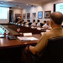
The GEOINT program at Norwich builds on this legacy. It offers students a rigorous, interdisciplinary education that integrates geographic information systems, remote sensing, imagery analysis, and applied intelligence. It draws on faculty expertise in environmental science, computer science, criminal justice, cybersecurity, geology, mathematics, and national security studies. Supported by the Peace and War Center, it is housed within the Senator Patrick Leahy School of Cybersecurity and Advanced Computing, whose Mack Hall facility provides advanced computing labs, collaborative spaces, and specialized environments for cyber and geospatial analysis.[ii] Students engage in hands-on learning, capstone research, and interdisciplinary collaboration that prepare them for careers in the intelligence community, the military, law enforcement, emergency management, and private industry. The program’s mission—to develop leaders who leverage geospatial intelligence to influence public policy, address complex challenges, and foster innovation across society—aligns directly with USGIF’s vision for advancing the GEOINT profession.[iii]
This is not merely an academic credential. It is a strategic investment in national readiness, a recognition that the United States cannot afford strategic blindness in an era of complexity, competition, and rapid change, and a reaffirmation of Norwich University’s historic role in preparing citizen-soldiers and public servants for the demands of a dangerous world.
GEOINT as a Strategic Imperative
The strategic environment facing the United States today is shaped by forces that are both global and local, physical and digital, and natural and man-made. Great-power competition, climate instability, contested information environments, and the accelerating fusion of cyber and physical domains have created a world in which understanding spatial relationships is indispensable. GEOINT sits at the center of this challenge. It provides the analytical foundation for understanding adversaries, assessing vulnerabilities, and anticipating crises. It is the discipline that enables the United States to see clearly in a world clouded by uncertainty.
Strategic competitors such as China and Russia have invested heavily in geospatial capabilities, satellite constellations, and data-driven targeting systems. Their military doctrines emphasize integrating spatial information with cyber operations, electronic warfare, and long-range precision fires. China’s People’s Liberation Army has built a vast architecture of space-based sensors, BeiDou navigation systems, and geospatial data platforms to support precision strike and maritime domain awareness. Russia, despite its economic constraints, continues to rely on GEOINT to coordinate long-range fires, assess battlefield damage, and integrate unmanned systems into its operations. Both states understand that the side that sees the battlespace most clearly—and fastest—will hold the advantage. To deter and, if necessary, defeat such adversaries, the United States must maintain geospatial superiority. GEOINT enables commanders to visualize the battlespace, anticipate enemy movements, assess terrain, and integrate joint fires. It supports everything from special operations to missile defense. Without GEOINT, the United States would be blind in the modern battlespace.
Yet the importance of GEOINT extends far beyond traditional military operations. Climate change is reshaping global security by altering coastlines, intensifying storms, and creating resource scarcity. GEOINT enables policymakers to monitor environmental change, predict impacts, and coordinate disaster response. It helps identify vulnerabilities and how to mitigate them. It is essential for humanitarian assistance, enabling rapid assessment, resource allocation, and interagency coordination during crises. It saves lives by providing clarity in moments of chaos.
GEOINT also plays a critical role in protecting the homeland. The United States depends on complex, interdependent infrastructure systems—energy grids, transportation networks, communication lines, and supply chains. GEOINT helps identify vulnerabilities, assess risks, and protect critical infrastructure against natural disasters, cyberattacks, and sabotage. It supports emergency management, law enforcement, and public health by providing the spatial awareness necessary to safeguard the nation’s most vital systems.
Perhaps most importantly, GEOINT is central to the information environment. Modern conflict is fought not only on land, at sea, in the air, in space, and in cyberspace but also in the cognitive domain. GEOINT supports mapping information flows, social networks, and influence operations. It helps analysts understand how narratives spread, where disinformation originates, and how adversaries exploit digital terrain. In an era of deep-fakes, synthetic media, and algorithmic manipulation, anchoring information to physical reality is a strategic necessity.
For all these reasons, GEOINT is not optional. It is foundational to national strategy. It is the discipline that enables the United States to understand the world, anticipate threats, and respond effectively. It is also the discipline that Norwich University is uniquely positioned to teach.
Norwich University’s Strategic Contribution
Norwich’s GEOINT program contributes to national readiness in ways that reflect the institution’s history, ethos, and academic design. Norwich produces officers, analysts, and public servants who understand the moral and civic dimensions of national security. GEOINT requires ethical judgment, respect for privacy, and adherence to democratic principles. Norwich’s values, honor, integrity, and service before self are essential to responsible GEOINT practice.[iv] The program’s emphasis on interdisciplinary learning mirrors the complexity of modern intelligence. GEOINT is not a narrow technical field; it synthesizes environmental science, cybersecurity, criminal justice, mathematics, geology, and computer science. Norwich’s faculty brings expertise in climate systems, terrain analysis, remote sensing, cyber operations, and conflict mapping.[v] This breadth ensures that students understand GEOINT not as a set of tools but as a way of thinking.
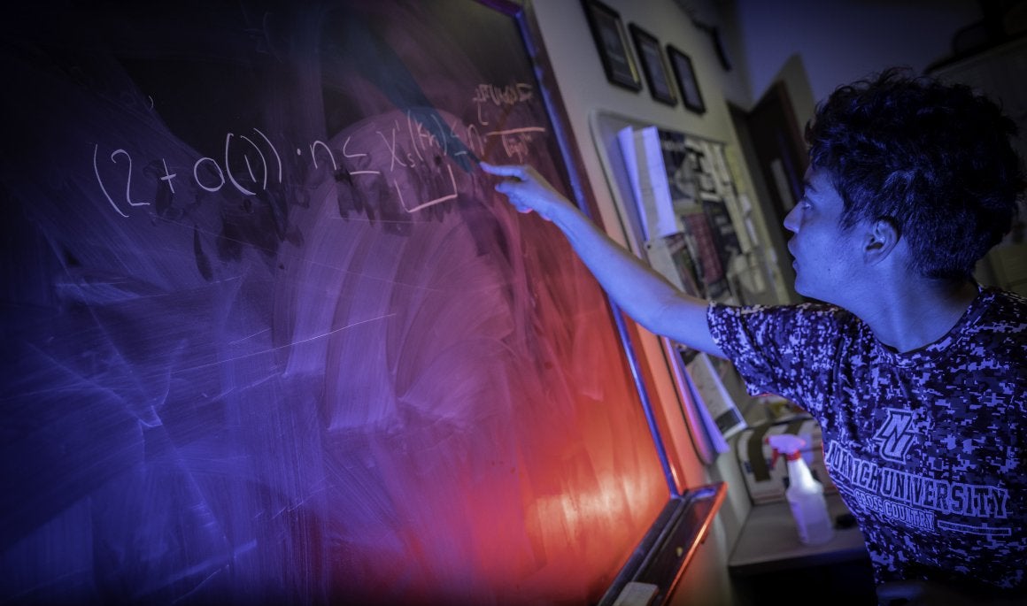
Norwich’s culture of hands-on learning further strengthens the program. Students engage in real-world projects, simulations, and capstone studies that require them to apply GEOINT methods to practical problems. They work in advanced computing labs, digital forensics environments, and collaborative spaces designed for interdisciplinary research.[vi] They have access to ArcGIS Pro, remote sensing tools, secure network storage, and the Kreitzberg Library’s extensive digital collections.[vii] They receive guidance from faculty mentors and the GEOINT Coordinator, who ensure curriculum alignment, faculty collaboration, and continuous improvement.[viii] This structure ensures that GEOINT is not siloed but integrated across the university’s academic ecosystem.
Norwich also serves as a pipeline for military and civilian careers. The program supports ROTC cadets, civilian students, veterans, and nontraditional learners. It prepares graduates for roles in the intelligence community, the armed forces, law enforcement, emergency management, and private industry. It actively recruits underrepresented students, recognizing that diverse perspectives strengthen national security.[ix] It also builds on Norwich’s designation as a Center of Academic Excellence in Cyber Defense, leveraging partnerships with government and industry to expand opportunities for students.[x]
The program’s physical home—Mack Hall—embodies Norwich’s commitment to experiential learning and technological excellence. Built in 2018, the 51,000-square-foot facility houses advanced computing labs, collaborative workspaces, and specialized environments for cyber defense and geospatial analysis.[xi] It is a place where students learn to integrate spatial data with cyber tools, conduct digital forensics, and participate in simulations that mirror real-world operational environments. The building itself is a strategic asset, enabling Norwich to offer a rigorous and relevant GEOINT education.
The Kreitzberg Library further strengthens the program by providing access to more than 150 online databases, 47,000 e-journals, nearly half a million e-books, and extensive print collections.[xii] Students can conduct research on environmental change, conflict mapping, infrastructure vulnerabilities, and geospatial modeling. They can also access historical maps, satellite imagery, and scholarly literature that deepen their understanding of the spatial dimensions of global affairs. The library’s professional staff support students in locating and analyzing these resources, ensuring that GEOINT education at Norwich is grounded in both theory and practice.
Norwich’s GEOINT program is also strengthened by its administrative structure. The GEOINT Coordinator serves as a liaison between faculty, ensuring the curriculum remains aligned with USGIF standards and that GEOINT concepts are integrated across the university.[xiii] The Coordinator advises on capstone projects, monitors course quality, and collaborates with department chairs to maintain academic rigor. This structure ensures that GEOINT is not an isolated program but a university-wide commitment.
Through these means, Norwich’s GEOINT program is a strategic asset. It strengthens national readiness by producing graduates who can think spatially, act ethically, and lead decisively. It renews the institution’s historic mission and positions Norwich as a national leader in geospatial education at a time when the Republic needed such leadership.
A Call to Study GEOINT
The United States cannot afford strategic blindness. It cannot assume that past dominance guarantees future security. It cannot rely on outdated educational models that separate technical skill from ethical judgment or analysis from leadership. GEOINT is the discipline that will define the next generation of strategic decision-making. It is the lens through which we will understand climate change, great-power competition, humanitarian crises, and the vulnerabilities of our society. It is the foundation on which military readiness, national resilience, and democratic stability will depend.
Norwich University has stepped forward to meet this challenge. Its GEOINT Certificate Program is more than an academic offering. It is a strategic investment in the Republic, a renewal of Alden Partridge’s vision, and a call to service. For students who seek to understand the world, wish to serve their country, and aspire to leadership in an uncertain time, GEOINT offers an intellectually rigorous, morally grounded, and strategically essential path.
The map has returned. The world is changing. The Republic needs leaders who can see clearly. Norwich University is preparing them.
Mr. Bruce W. Dobbins is both the Norwich University Geospatial Intelligence Coordinator for the John and Mary Francis Patton Peace and War Center as well as an Adjunct Professor for the School of Criminology and Criminal Justice. Prior to joining Norwich University, Mr. Dobbins was the Technical Security Advisor for the oil companies of the United Arab Emirates, Kuwait, and Saudi Arabia. While working with Saudi Aramco, he advised senior leadership in all aspects of security policy and procedures to include the employment of GEOINT resources for security and production support of over 56,000 employees from 109 countries, 5 separate residential communities, one major hospital, and all security manager functions for all 106 production facilities. As a naval Surface Warfare Officer (SWO), Officer of the Deck (OOD Fleet), and Tactical Action Officer (TAO), Mr. Dobbins employed the GEOINT tools available between 1977 and the mid-1980s for naval fleet support and projection of power. He then transferred over to Naval Intelligence where, among many other assignments, he planned and employed GEOINT resources as a Team Leader responsible for tracking mobile Soviet Communication Intelligence (COMINT) resources within the Soviet Union and while acting as the Deputy for Combat Assessment during the Kosovo crisis (Operation Noble Anvil). Mr. Dobbins has employed various GEOINT tools and technologies for 30+ years in leading small- and large-scale security operations and management within DoD and the civilian business community, with over 25 years at the executive level.
Dr. James M. Deitch was born in Philadelphia and raised in Bucks County, Pennsylvania. He attended high school in Heinavesi, Finland. He spent most of his Marine Corps career as an operations chief, serving deployments in Saudi Arabia, Kuwait, Iraq, and Norway, and aboard the USS Saratoga. Deitch holds a master’s degree in military history from Norwich University and a doctoral degree in intellectual history from Liberty University. He serves as a Senior Fellow at the Patton Center for Peace and War at Norwich University. His published doctoral dissertation focuses on the role of ethnic Germans in early American history. His published works can be found in Total War Magazine, Concealed Carry Magazine, Real Clear Defense, Voices on Peace and War, and the Journal of the American Revolution.
[i] Norwich University, Self‑Study Report for USGIF Accreditation, 3.
[ii] Ibid., 8.
[iii] Ibid., 5–6.
[iv] Ibid., 4.
[v] Ibid, 30–32.
[vi] Ibid., 33–34.
[vii] Ibid., 35–36.
[viii] Ibid, 7.
[ix] Ibid., 10.
[x] Ibid., 6.
[xi] Ibid, 33.
[xii] Ibid., 35.
[xiii] Ibid, 7.